
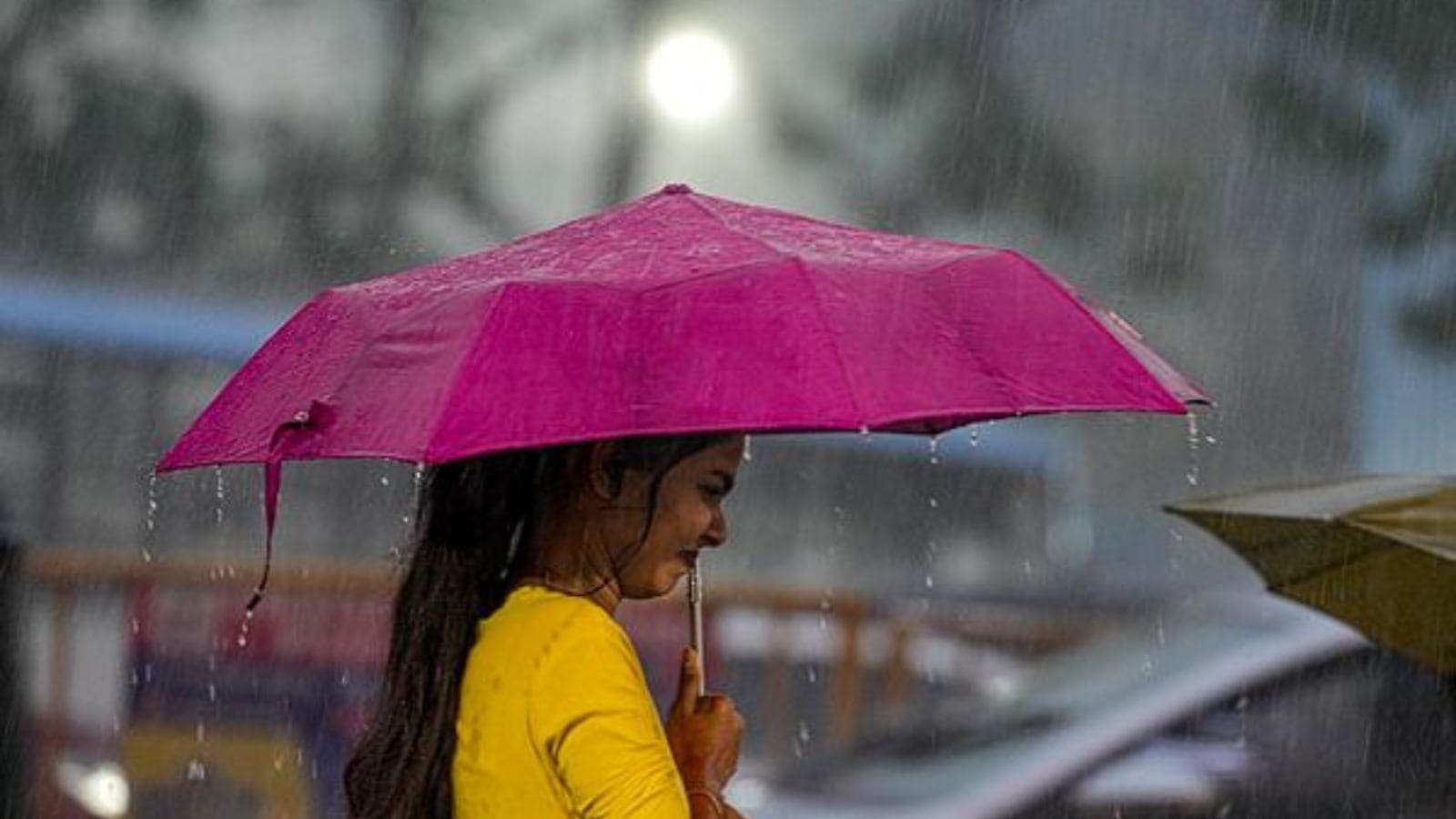
A well-marked low-pressure area over the southwest Bay of Bengal has brought widespread rainfall across Tamil Nadu, leading to multiple flood warnings and an orange alert for several coastal and delta districts. The Regional Meteorological Centre (RMC) in Chennai reported that this weather system is expected to strengthen into a depression by Wednesday afternoon. It is forecast to move west-northwest toward the north Tamil Nadu and south Andhra Pradesh coast, with further intensification likely on Thursday.
Adding to the region’s weather activity, a second system—another well-marked low-pressure area over the southeast Arabian Sea—is predicted to develop into a depression within 24 hours. This second low-pressure system will contribute additional moisture to the region. According to the India Meteorological Department (IMD), the interaction of these two weather systems has kept the northeast monsoon active over Tamil Nadu and adjacent areas.
Due to the heavy rainfall and active monsoon conditions, the RMC has issued orange alerts—indicative of heightened risk—for the districts of Ramanathapuram, Cuddalore, Thanjavur, Nagapattinam, Mayiladuthurai, Villupuram, and the Union Territory of Puducherry until Wednesday morning. Alongside these, eleven other districts, including Chennai, Chengalpattu, Tiruvallur, and Kancheepuram, are under a yellow alert for heavy rainfall expected through the night.
Over the 24 hours ending at 8:30 am on Tuesday, some areas in Tamil Nadu recorded significant rainfall. Thangachimadam in Ramanathapuram district saw the highest rainfall of 17 centimeters, followed by Pamban (15 cm), Mandapam (14 cm), and Varattupallam in Erode (13 cm). The Chennai suburbs of Medavakkam and Sholinganallur also recorded substantial rainfall, at 10 cm and 8 cm respectively. The IMD described the monsoon as “active” over Tamil Nadu and the cities of Puducherry and Karaikal within the Union Territory of Puducherry, noting rainfall at most stations.
The heavy rainfall has had tangible impacts on water reservoirs and rivers. The Vaigai Dam, which serves several districts including Theni, Dindigul, Madurai, Sivagangai, and Ramanathapuram, experienced increased inflows, prompting the Water Resources Department to issue a third-stage flood alert for these areas on Monday. As of the latest report, the dam’s water level was at 69.13 feet, just below its full capacity of 71 feet, holding 5,605 million cubic feet of water. The reservoir was receiving an inflow of 4,875 cubic feet per second (cusecs) while releasing 3,630 cusecs through river and canal channels. Meanwhile, moderate rainfall continued over the Varusanadu and Kottagudi catchments on Tuesday.
In Madurai city, the river flowing through the area rose to touch both banks. This prompted authorities to maintain round-the-clock monitoring of causeways and low-lying neighborhoods to ensure safety and preparedness against possible flooding.
In Chennai, the Water Resources Department increased the discharge from the Red Hills reservoir, a crucial drinking water source for the city, from 300 to 500 cusecs following a slight rise in inflow. Overnight downpours led to waterlogging in several localities, including K K Nagar, Pudupet, and parts of Sholinganallur, causing inconvenience to residents.
Looking ahead, the IMD’s seven-day weather outlook predicts sustained rainfall across Tamil Nadu, Puducherry, and Karaikal. For Tuesday specifically, heavy to very heavy rain, with some areas experiencing extremely heavy falls, is expected in the districts of Ramanathapuram, Pudukkottai, Thanjavur, Tiruvarur, Nagapattinam, Mayiladuthurai, Cuddalore, Villupuram, as well as the Union Territories of Puducherry and Karaikal.
Other districts forecast to receive heavy to very heavy rain include Ariyalur, Perambalur, Kallakurichi, Chengalpattu, Chennai, Tiruvallur, Kancheepuram, Thoothukudi, Tirunelveli, and Kanyakumari. Interior districts such as Salem, Tiruchirappalli, and Vellore may experience isolated heavy showers by mid-week. Meanwhile, the western districts of Nilg